Introduction:
The Smart Travel Tracker System is a microcontroller-based GPS tracking solution that enables real-time monitoring, logging, and display of geographical travel routes. It is designed to enhance the travel experience by allowing users to accurately record the paths they take, monitor current locations, and store the data for future analysis. This system is particularly beneficial in areas such as logistics tracking, personal travel logging, school bus monitoring, and fieldwork supervision.
By leveraging the Global Positioning System (GPS), this smart system continuously acquires satellite-based location coordinates (latitude and longitude), which are then processed and displayed to the user and optionally transmitted to a server or cloud platform for real-time tracking and analysis.
The system reduces dependency on manual logging and improves reliability and transparency in movement tracking. It also helps in studying travel behavior, improving routes, and ensuring safety through location awareness.
Working Principle:
The core working of the Smart Travel Tracker System is based on real-time data acquisition from satellites via a GPS module. The GPS module receives signals from at least four satellites to triangulate the device's exact position on Earth. The module outputs data in the form of NMEA sentences, which contain geographic coordinates.
A microcontroller (such as Arduino Uno or ESP32) reads this serial data, parses the required information (latitude, longitude, speed, and time), and sends it to a display unit (like an I2C LCD) for immediate viewing. Additionally, the system may send this data to a remote platform (e.g., via GSM or Wi-Fi) for live monitoring.
This continuous loop of data acquisition, processing, and display enables real-time travel tracking. The data can be used for live route mapping, travel logs, or alerts based on geofencing.
Methodology:
-
System Initialization:
-
GPS Signal Acquisition:
-
The GPS module starts communicating with satellites and fetches raw location data, including latitude, longitude, time, and date.
-
Data Parsing and Processing:
-
Live Data Display:
-
Data Logging/Transmission:
-
Route Analysis:
Components Used:
| Component |
Description |
| Arduino Uno |
Acts as the central control unit, processes GPS data, and manages display/output. |
| GPS Module (NEO-6M) |
Receives signals from GPS satellites and provides real-time geographical coordinates. |
| I2C LCD Display (16x2 / 20x4) |
Displays live location information such as latitude and longitude. |
| GSM Module (SIM800L/SIM900A) or Wi-Fi (in case of ESP32) |
Sends real-time location data to a remote server or cloud platform. |
| Power Supply Module |
Ensures stable voltage to power all components reliably. |
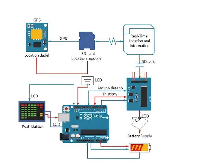
Block Diagram:

IMAGES USED ARE ONLY FOR SAMPLE PURPOSES!!!!!!

.svg)